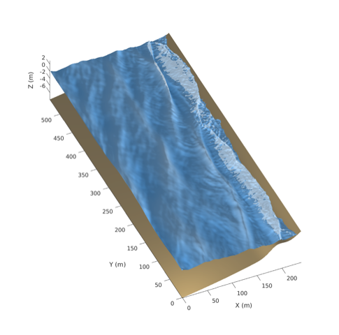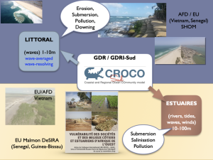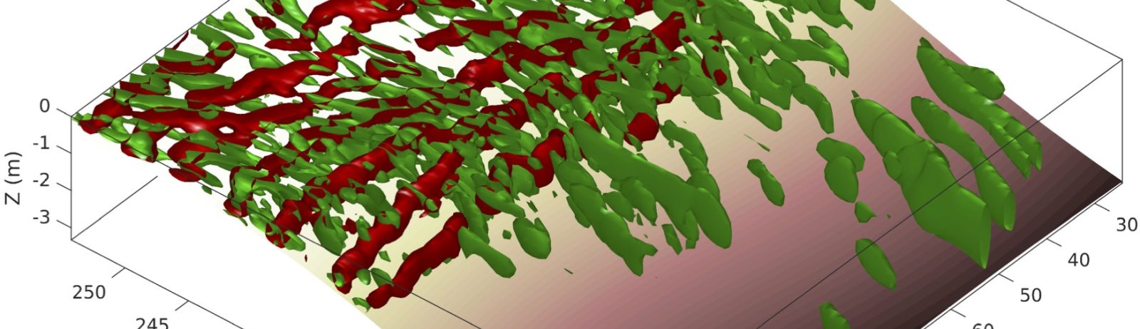
CROCO is a nonhydrostatic, free-surface and terrain-following model, developed around the Regional Oceanic Modeling System. Its capabilities include high-performance computation of high-order-accurate discretized equations, and coupling with atmosphere, waves, biogeochemistry, sediment and turbulence models. It is applied to a variety of configurations, from regional, shelf and estuarine circulations to very fine-scale, wave-induced nearshore circulation.