Regional Products
The CTOH computes and distributes specific, coastal products:
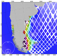
- One hertz along track Sea Level Anomaly : SLA 1Hz
- High frequency Sea Level Anomaly : SLA HF(This product is in phase of testing. Only three zones are available: India, Gulf of Mexico and Mediterranean)
- One hertz along track tidal constants: Tidal Constants
using its X-TRACK processor for all precise altimeter missions : Topex/Poseidon (TP), Jason-1 (J1) , Jason-1 interleaved (J1N), Topex/Poseidon interleaved (TPN), Jason-2, Geosat Follow on (GFO), Envisat and Saral/Altika (click here to view available missions and the temporal coverage of each one).
Acknowledgements:
Please do not forget to mention the following sentence in all publications or communications referring to a work based on the CTOH/LEGOS altimetry dataset:
“Altimetry data used in this study were developed, validated, and distributed by the CTOH/LEGOS, France”.
