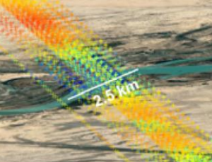
Altimetry can be used to obtain water level heights on sites where no data has been collected.
Efforts for obtaining reliable long-time series have been developed at CTOH for years. Among these efforts :
- SINC retracker for rivers
- SMASH altimetry satellite constellation for hydrology
The CTOH also processes altimeter missions specifically for hydrology and continental surfaces:
– ERS-2 mission