MAPS is a software developed to process altimetry data on lakes, rivers and flood zones to calculate water time series.
AlTiS replaces MAPS Software since September 2020. Go to Altis
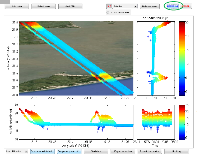
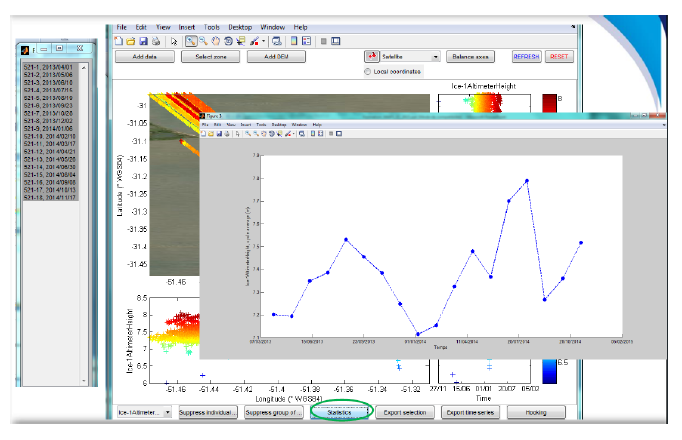
MAPS software calculates altimetric heights and provides a spatial representation of altimetric heights and help the user to select the data (Frappart et al., 2015).
Formation sessions are organized and user manual will be soon available. For any question, please ask to ctoh_products”at”legos.obs-mip.fr
https://www.legos.omp.eu/ctoh/altis-data-request/