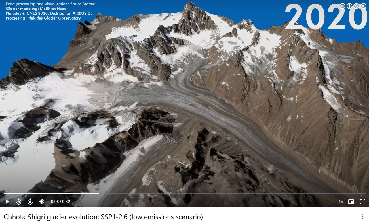
2025 north hemisphere images processed : new maps of elevation changes
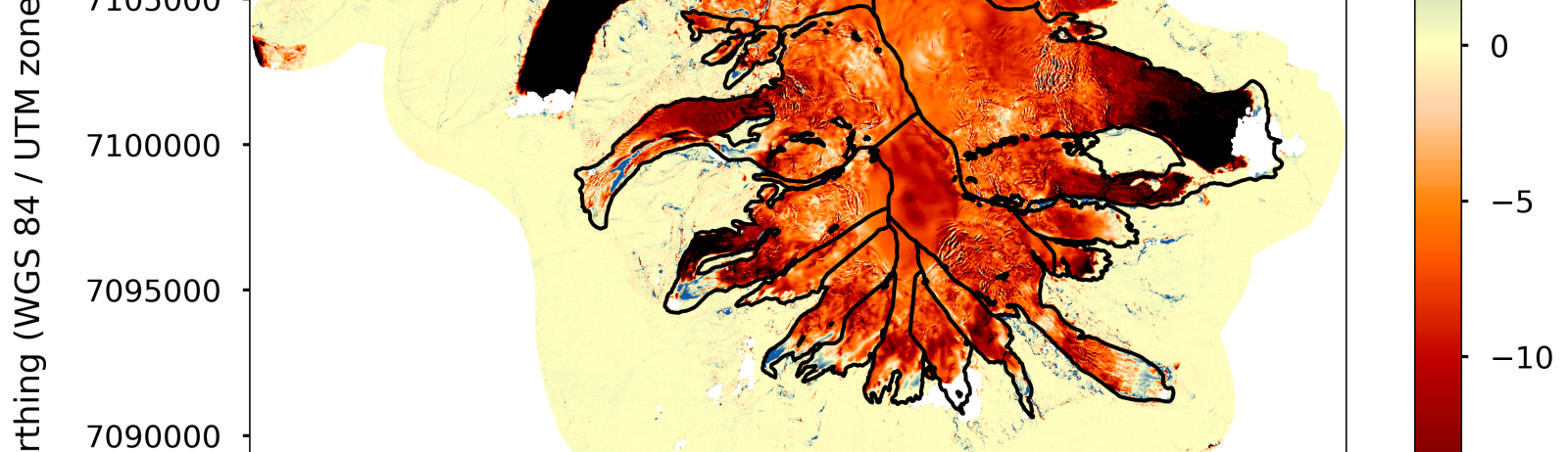
Each semester, the two Pléiades satellites revisit several PGO sites (typically between 10 and 20). Comparison with previous surveys (dating back 5 years or more) enables new maps of elevation changes to be generated. We have just finished processing the 2025 stereo images for the northern hemisphere and have estimated the changes of glaciers in High Mountain Asia, Alaska, and the Caucasus, as well as Oraefajökull (Iceland) after an eight-year interval (the clouds finally cleared after three unsuccessful years!). If you feel a certain disappointment when looking at these maps, it is probably because the reddish colors indicate that thinning is vastly dominating. The DSMs and elevation change maps are available on request if necessary before we provide online access to all the data. Aggregated glacier by glacier, the elevation change data will be added to the World Glacier Monitoring Service database.
Click on the first image to open the gallery at full resolution.