While ocean satellite observing systems generate comprehensive views of the ocean surface, sub-surface measurements are limited to moored instruments such as current meters, robotic instruments that roam the ocean drifting with the currents and surfacing at programmed times to download their data to satellites, research vessels with specialised deep ocean measuring systems, and expendable bathythermographs which are ocean temperature probes called ‘XBT’s’.
XBT’s
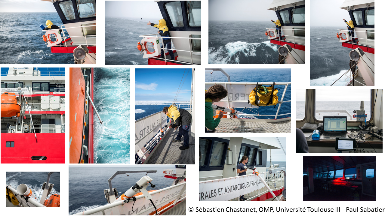
Shaped like miniature torpedos, these probes contain a spool of fine copper wire which spins out of the XBT as it descends, and a thermister which is sensitive to temperature. Resistance across the thermister changes with temperature and this resistance is measured on board the ship as long as the copper wire remains intact.
Depth is inferred from time: we know how fast the XBT falls through the water so we can calculate how deep the instrument is at any point in its fall if we measure the time since it was dropped. Temperature recording stops when the XBT runs out of wire which breaks, terminating communication.
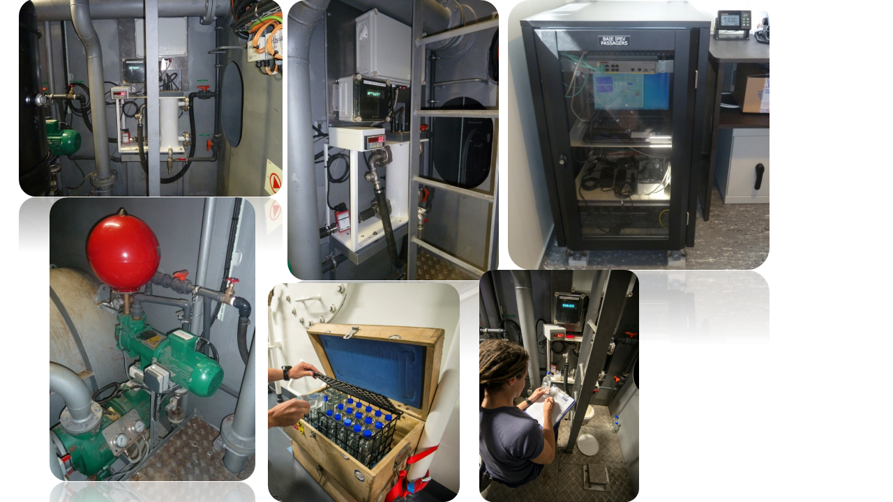
The launcher remains on board the ship. It also contains a spool of copper wire so the ship need not slow down while the XBT is deployed – the wire simply flows off of the ship-board spool as the ship moves, eliminating tension on the wires. The instrument is « expendable », meaning it cannot be retrieved after it is launched.
The launcher is linked to a computer system on the ship that records the resistance of the wire, calculates temperature from this resistance and depth from the time since launch, and saves this information to disk (as well as the GPS position, date and time of the launch) for processing after the ship returns to port. We regularly get profiles as deep as 800 m from this system.
TSG
A second instrument, the thermosalinograph, measures the ocean’s surface temperature and salinity continuously from seawater flowing through an intake pipe on the ship’s hull. The continuous records are averaged every minute, providing a fine scale trace of the ocean’s surface salinity structure. A separate thermometer near the ship’s hull measures the in-situ sea surface temperature. These logging systems are linked to a GPS recorder and we also record the ships meteorological data.
The Logging System records:
- Latitude and longitude
- Surface temperature and salinity
- Wind speed
- Barometric pressure
Starting in 2006, the Survostral TSG and XBT data are transmitted in near real time for operational oceanography applications.
The surface salinity data are incorporated in the SNO-SSS at LEGOS.