I. Alongtrack datasets
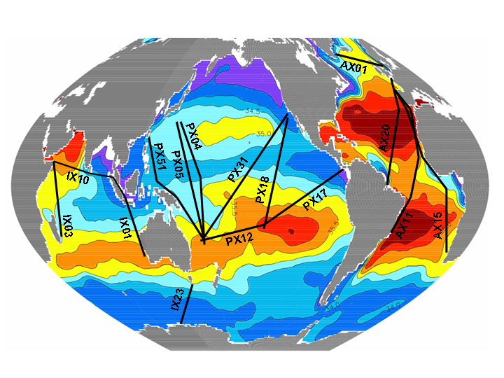
Ship Tracks in the Tropical Oceans. Grid Size : 1° latitude (for the N-S oriented tracks) or 2° longitude (for the E-W oriented tracks) x 1 month. Domain : 30°N-30°S. Details about the data origin, validation and gridding procedure can be found in Delcroix et al. (Deep Sea. Res., 52/5, 787-813, 2005). Available on request.
II. 3D Gridded Files
The Tropical Pacific Ocean, 1969-1995. Grid size : 10° longitude x 2° latitude x 1 month. Domain : 140°E-80°W, 30°N-30°S, Details about the data origin, validation, and gridding procedure can be found in Delcroix (J. Geophys. Res., 103/C9, 18,611-18,633, 1998). The gridded file can be obtained from the CD Rom entitled Three Decades of In Situ Sea Surface Salinity Measurements in the Tropical Pacific.