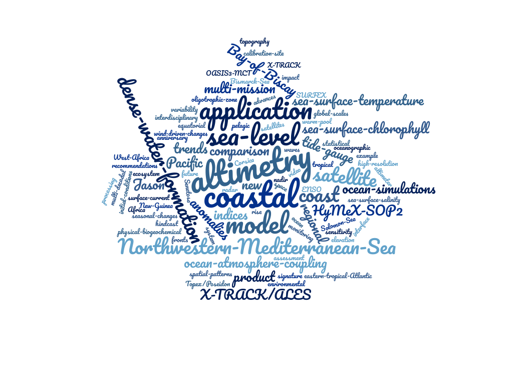
Peer reviewed articles
[24] Leclercq, L., A. Cazennave, F. Léger, F. Birol, F. Niño, L. Tolu, J-F. Legeais. Coastal sea level rise at altimetry-based virtual stations in the Gulf of Mexico (2025). Advances in Space Research, Volume 75, Issue 2, Pages 1636-1652, https://doi.org/10.1016/j.asr.2024.11.069.
[23] Birol, F., F. Bignalet-Cazalet, M. Cancet, J-A. Daguze, W. Fkaier, E. Fouchet, F. Léger, C. Maraldi, F. Niño, M-I. Pujol, N. Tran. Understanding uncertainties in the satellite altimeter measurement of coastal sea level data: insights from a round robin analysis (2024). Ocean Science, 21, 133–150, https://doi.org/10.5194/os-21-133-2025.
[22] Djeumeni, L., F. Birol, R. Onguéné, F. Léger, F. Niño, S. R. Dzonde. Virtual coastal altimetry tide gauges along the West African coast (2024). Estuarine Coastal and Shelf Science , volume 296, 108600, https://doi.org/10.1016/j.ecss.2023.108600.
[21] Dimoune, D. M., F. Birol, F. Hernandez, F. Léger, M. Araujo. Revisiting the tropical Atlantic western boundary circulation from a 25-year time series of satellite altimetry data (2023). Ocean Sci., 19, 251–268, https://doi.org/10.5194/os-19-251-2023.
[20] Abessolo Ondoa G., F. Birol, R. Almar, F. Léger, E. Bergsma, K. Brodie, R. Holman. Wave influence on altimetry sea level at the coast (2023). Coastal Engineering, Volume 180, 104275, https://doi.org/10.1016/j.coastaleng.2022.104275.
[19] Cazenave A., Y. Gouzènes, F. Birol, F. Léger, M. Passaro, F. Calafat, A. Shaw, F. Niño, J-F. Legeais, J. Oelsmann, M. Restano, J. Benveniste. Sea level along the world’s coastline can be measured by a network of virtual stations (2022). Commun. Earth Environ., 3, 117, https://doi.org/10.1038/s43247-022-00448-z.
[18] International Altimetry Team. Altimetry for the future: Building on 25 years of progress (2021). Advances in Space Research, Volume 68, Issue 2, Pages 319-363, https://doi.org/10.1016/j.asr.2021.01.022.
[17] Birol, F., F. Léger, M. Passaro, A. Cazenave, F. Niño, F. Calafat, A. Shaw, J-F. Legeais, Y. Gouzènes, C. Schwatke, J. Benveniste. X-TRACK/ALES multi-mission processing system: new advances in altimetry towards the coast (2021). Advances in Space Research, Volume 67, Issue 8, 2021, Pages 2398-2415, https://doi.org/10.1016/j.asr.2021.01.049.
[16] The Climate Change Initiative Coastal Sea Level Team (J. Benveniste, F. Birol, F. Calafat, A. Cazennave, H.B. Dieng, Y. Gouzènes, J-F. Legeais, F. Léger, F. Niño, M. Passaro, C. Schwatke, A. Shaw). Coastal sea level anomaliles and associeted trends from Jason satellite altimetry over 2002-2018 (2020). Nature Sceintific Data7, 35. https://doi.org/10.1038/s41597-020-00694-w.
[15] Gouzènes, Y., F. Léger, A. Cazenave, F. Birol, P. Bonnefond, R. Almar, F. Niño, M. Passaro, O. Laurain, J-F. Legeais, J. Benveniste (2020). Coastal Sea Level rise at Senetosa (Corsica), the calibration site of the Topex/Poseidon and Jason altimetry missions. Ocean Sci., 16, 1165–1182,https://doi.org/10.5194/os-16-1165-2020.
[14] Dieng, H., I. Dadou, F. Léger, J. Jouanno, Y. Morel, F.Lyard, D. Allain (2019). Sea level anomalies using altimetry, model and tide gauge along the African coasts in the eastern tropical Atlantic ocean: inter-comparison and temporal variability. Advances in Space Research. https://doi.org/10.1016/j.asr.2019.10.019
[13] Abessolo Ondoa, G., R. Almar, B. Castelle, L. Testut, F. Léger, Z. Sohou, F. Bonou, E. Bergsma, B. Meyssignac, M. Larson (2019). On The Use Of Shore-Based Video Camera To Monitor Sea Level At The Coast: A case study in Grand Popo, Benin (Gulf of Guinea, West Africa), Journal of Atmospheric and Oceanic Technology. https://doi.org/10.1175/JTECH-D-18-0203.1
[12] Marti, F., A. Cazenave, F. Birol, M. Passaro, F. Léger, F. Niño, R. Almar, J. Benveniste, J-F. Legeais. Altimetry-based sea level trends along the coasts of western Africa (2019). Advances in Space Research. https://doi.org/10.1016/j.asr.2019.05.033
[11] Voldoire, A., B. Decharme, J. Pianezze, C. Lebeaupin Brossier, F. Sevault, L. Seyfried, V. Garnier, S. Bielli, S. Valcke, A. Alias, M. Accensi, F. Ardhuin, M-N. Bouin, V. Ducrocq, S. Faroux, H. Giordani, F. Léger, P. Marsaleix, R. Rainaud, J-L. Redelsperger, E. Richard, S. Riette (2017). The seamless and multi-model coupling between atmosphere, land, hydrology, ocean, waves and sea-ice models based on SURFEX using OASIS3-MCT. Geosci. Model Dev. Disc, doi:10.5194/gmd-10-4207-2017.
[10] Lebeaupin-Brossier C., F. Léger, H. Giordani, J. Beuvier, M-N. Bouin, V. Ducrocq, N.Fourrié (2017). Dense Water Formation in the North-Western Mediterranean area during HyMeX-SOP2 in 1/36° ocean simulations: Ocean-atmosphere coupling impact. Journal of Geophysical Research. doi:10.1002/2016JC012526.
[9] Giordani, H., C. Lebeaupin Brossier, F. Léger, G. Caniaux, (2017). A PV-Approach for Dense Water Formation along Fronts: Application to the Northwestern Mediterranean.J. Geophys. Res. Oceans, doi:10.1002/2016JC012019.
[8] Birol, F., N. Fuller, F. Lyard, M. Cancet, F. Niño, C. Delebecque, S. Fleury, F. Toublanc, A. Melet, M. Saraceno, F. Léger (2017). Coastal applications from nadir altimetry: example of the X-TRACK regional products, Advances in Space Research, doi:10.1016/j.asr.2016.11.005.
[7] Léger, F., C. Lebeaupin Brossier, H. Giordani, T. Arsouze, J. Beuvier, M.-N. Bouin, V. Ducrocq, N. Fourrié, M. Nuret (2016). Dense Water Formation in the North-Western Mediterranean area during HyMeX-SOP2 in 1/36 ◦ ocean simulations: Sensitivity to initial conditions. J. Geophys. Res. Oceans, 121, 5549–5569, doi:10.1002/2015JC011542.
[6] Radenac, M.-H., F. Léger, M. Messié, P. Dutrieux, C. Menkes, G. Eldin (2016). Wind-driven changes of surface current, temperature, and chlorophyll observed by satellites notrh of New Guinea. Journal of Geophysical Research Oceans, 121, doi:10.1002/2015JC011438.
[5] Delcroix, T., M.-H. Radenac, S. Cravatte, G. Alory, L. Gourdeau, F. Léger, A. Singh, D. Varillon (2014). Sea surface temperature and salinity seasonal changes in the western Solomon and Bismarck Seas. Journal of Geophysical Research Oceans, 119, doi:10.1002/2013JC009733.
[4] Radenac, M.-H., M. Messié, F. Léger, C. Bosc (2013). Oligotrophic and non-oligotrophic waters in the equatorial Pacific warm pool as observed from space. Remote Sensing of Environment, 134, pp 224–233, doi.org/10.1016/j.rse.2013.03.007.
[3] Huret, M., M. Sourisseau, P. Petitgas, C. Struski, F. Léger, P. Lazure (2012). A multidecadal hindcast of a physical-biogeochemical model and derived oceanographic indices in the Bay of Biscay. Journal of Marine Systems, 109-110, suppl, S77-S94, doi.org/10.1016/j.jmarsys.2012.02.009.
[2] Radenac, M.-H., F. Léger, A. Singh, T. Delcroix (2012). Sea surface chlorophyll signature in the tropical Pacific during Eastern and Central Pacific ENSO events. Journal of Geophysical Research, 117, C04007, doi:10.1029/2011JC007841
[1] Woillez, M., P. Petitgas, M. Huret, C. Struski, F. Léger (2010). Statistical monitoring of spatial patterns for ecosystem integrated assessment, the Bay of Biscay pelagic zone as example. Progress in Oceanography 87(1-4) 83-93, doi:10.1016/j.pocean.2010.09.009.
Proceedings Meetings internationaux
[4] Diaz, H., R. Almar, E. W. J. Bergsma, F. Léger (2019).On the use of satellite-based Digital Elevation Models to determine coastal topography IGARSS 2019 – 2019 IEEE International Geoscience and Remote Sensing Symposium, Yokohama, Japan, 2019, pp. 8201-8204. doi: 10.1109/IGARSS.2019.8899189
[3] Léger, F., F. Birol, F. Niño, M. Passaro, F. Marti and A. Cazenave (2019). X-TRACK/ALES Regional Altimeter Product for Coastal Application: Toward a New Multi-Mission Altimetry Product at High Resolution, IGARSS 2019 – 2019 IEEE International Geoscience and Remote Sensing Symposium, Yokohama, Japan, 2019, pp. 8271-8274. doi: 10.1109/IGARSS.2019.8900422
[2] Léger, F., M.-H. Radenac, P. Dutrieux, C. Menkes, G. Eldin (2013). The New Guinea Coastal Current and Upwelling System: Seasonal Variability Inferred from Along-track Altimetry, Surface Temperature and Chlorophyll. Proc. 20 Years of Progress in Radar Altimetry, ESA SP-710.
[1] Radenac, M.-H., F. Léger, A. Singh, T. Delcroix (2013). Surface chlorophyll responses to Eastern and Central Pacific El Niño events using a multi-satellite analysis. Proc. 20 Years of Progress in Radar Altimetry, ESA SP-710.