Publisher: Direction– Updated on 27/05/2021
In situ observation is a fundamental tool in the research conducted at LEGOS and in Earth sciences in general. It is the field truth and allows us to get closer to reality.
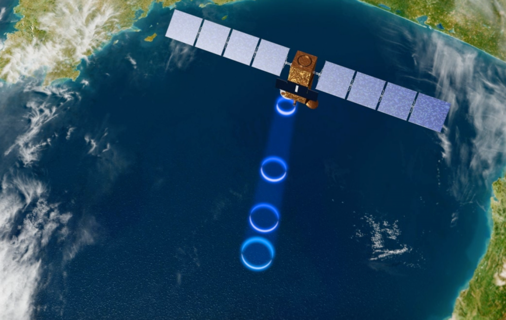
It is often the only way to observe certain environments and certain parameters. Satellite observation is a powerful tool that is widely used at LEGOS. Unfortunately, existing remote sensing techniques do not allow to cross interfaces, such as the air/sea or air/ice interface for example. They also do not allow the measurement of certain parameters (e.g. most chemical quantities). Thus, the observation of the interior of the ocean, ice, continental waters, requires the deployment of tools within them, in situ.
In situ observation is also essential for the calibration and/or validation of other tools used in the laboratory. It is used to calibrate and validate satellite or airborne observations. It is also essential to validate modeling work.
These in situ observations come from :
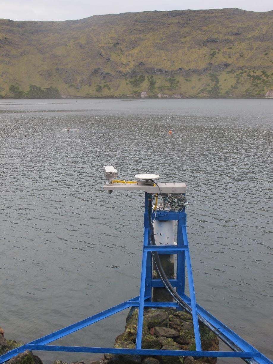
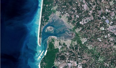
- Observational services which are perennial platforms providing time series of data, often freely available to the international community, in the framework of the LEGOS membership to the Universe Science Observatory (OSU) Midi Pyrénées. LEGOS hosts the national observation service PIRATA, a mooring network in the Tropical Atlantic, the national observation service SSS, Sea Surface Salinity, the ROSAME network, Subantarctic and antarctic sea level observation network. LEGOS participates in the national coastal water observation service SONEL, and leads, in collaboration with Australia, the SURVOSTRAL program, Southern ocean monitoring.
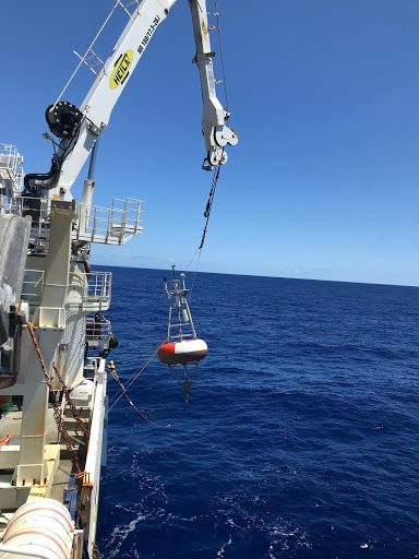
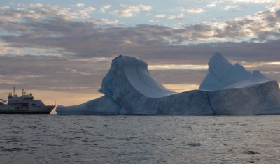
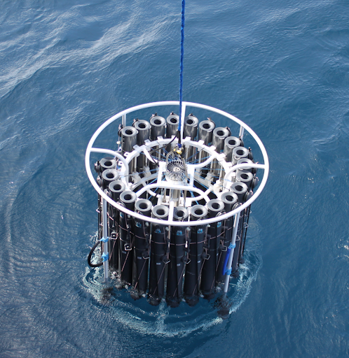
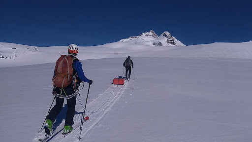
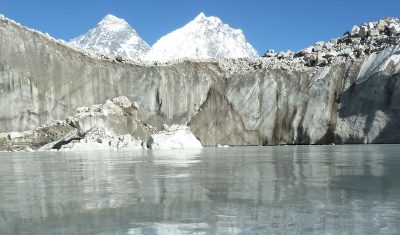
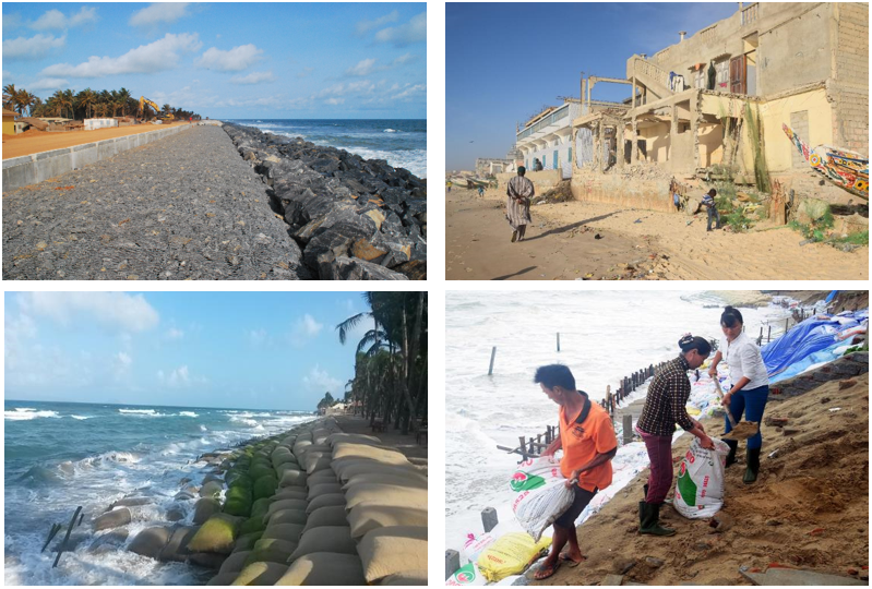
- Observation campaigns, which are usually one-off operations, where LEGOS scientists go out into the field, at sea on oceanographic vessels, on lakes, rivers, deltas, glaciers, coastlines, etc. These campaigns are often multidisciplinary, allow to gather a large number of scientists, often on an international scale, and rely on national community resources, such as the French Oceanographic Fleet, the technical division of INSU or the IMAGO service unit of IRD. Some observation services are based on a series of repeated campaigns.
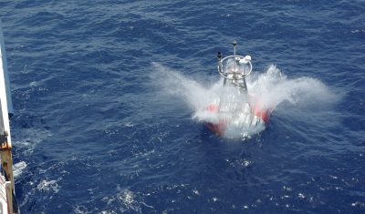
- Observation networks that LEGOS does not manage directly but whose data are freely available (see in particular the Coriolis service). These include coastal networks (HF radars, tide gauges), voluntary ship networks, XBT lines, data from autonomous vehicles (underwater gliders, saildrones, etc…), surface drifters, moorings or fixed stations, or the international drifting profiler network ARGO.
Research Team
CTOH: Center for Topographic studies of the Ocean and Hydrosphere
DYNOTROP: DYNamics of TROPical Oceans
ECHOS: Cryosphere and Hydrosphere Studies with Space Observations
ECOLA: Open Sea – Coasts Exchanges
LITTORAL