Publisher: Direction – Updated on 22/03/2021
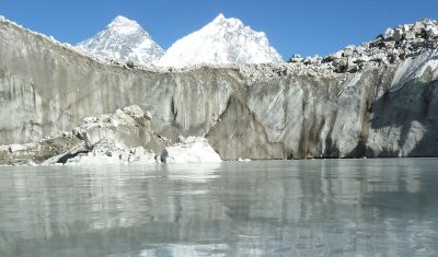
Free surface waters on the continents (lakes, rivers, floodplains and wetlands) are studied at LEGOS to answer the following scientific questions, among others:
- How do continental water stocks and fluxes vary at different spatio-temporal scales (daily to decadal time scale and from regional to continental or even global space scale)?
- How are the terrestrial water cycle and water resources impacted by the combined effect of climate variability and anthropogenic pressure?
- Can we better characterize recent changes in the hydrological cycle, interactions with the atmosphere and their possible links with extreme events (droughts, river and coastal floods)?
- What is the impact of freshwater flows on the ocean, in terms of sea level and physical oceanography (salinity, temperature) across the continuum?
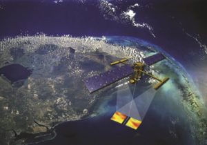
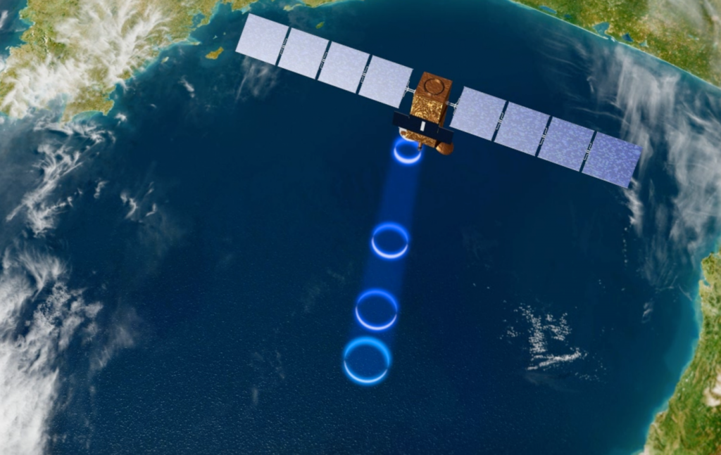
To answer these questions, numerous data (remote sensing and in situ measurements, model outputs) are processed and combined to get the most realistic estimate of the studied systems states.
