Publisher: Direction– Updated on 27/05/2021
Satellite missions at LEGOS
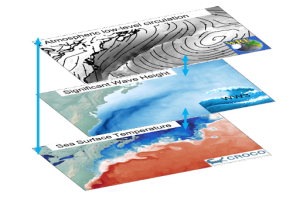
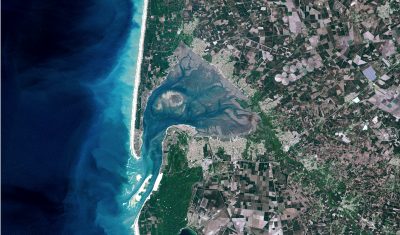
LEGOS uses space-based remote sensing for all of its major scientific themes: oceanography (offshore and coastal), hydrology, glaciology (polar and continental) and the water cycle in the broad sense (ocean, continent, atmosphere).
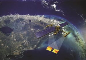
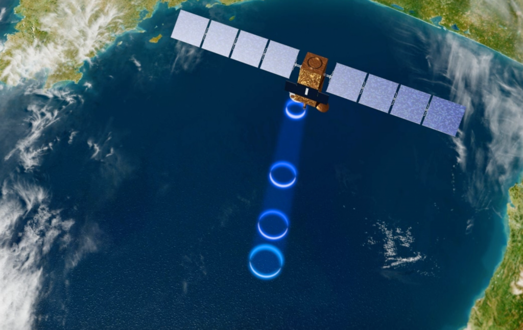
Several techniques are involved, but radar altimetry is the most important one in the range of tools used by LEGOS teams. In recent years, satellite gravimetry, optical and radar imagery, and interferometry have been added to the range of space techniques used.
The space-related activities of LEGOS are divided into various facets:
Preparation of new missions, exploitation of current missions, scientific valorization, calibration and validation, and generation of high-level product databases, then transfer to services.
LEGOS cooperates with many space agencies in the framework of international cooperation. Naturally, LEGOS is a major scientific partner of the Centre National d’Etudes Spatiales (CNES), but also of the European Space Agency (ESA), NASA, and the Indian, Chinese, Canadian and Vietnamese space agencies.
LEGOS is also strongly involved in the preparation of new missions. The SWOT (Surface Water and Ocean Topography) mission has been a spearhead of this activity for a few years (to be launched in orbit at the end of 2022 for a duration of 42 months for hydrology and oceanography). Many new proposals for space missions are also carried by LEGOS researchers.
In recent years, LEGOS has become a major player in the study of climate change and the water cycle, both nationally and internationally. Several LEGOS researchers participate in international working groups within the IPCC or other United Nations bodies (GCOS: Global Climate Observing System).

NASA-JAXA, © treatment E. Berthier
LEGOS is involved in several projects within the framework of ESA’s Climate Change Initiative (CCI), in the field of sea level monitoring and altimetry of large lakes.
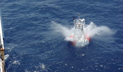
The presence of the IRD among the LEGOS supervisors has also allowed to set up a large number of bilateral cooperations in order to strengthen the use of the space sector in southern countries, but also to carry out field campaigns for the calibration / validation of past and current missions. The transfer of expertise in remote sensing to southern countries is a strong axis of the laboratory.
LEGOS is a major actor in the dissemination of knowledge from space through scientific publications but also through a very active participation in international symposia and conferences in remote sensing and its applications, and through the development of satellite observation services. Whether in oceanography or hydrology. Because of the great involvement of the laboratory’s researchers in the valorization of satellite altimetry, they are also very active within OSTST.
To summarize, in support of CNES and ESA missions, LEGOS :
- Contributes to the development of new missions when it is not itself the main leader (SWOT, SMASH, MARVEL, COMODO, CRISTAL, WISA, SENTINEL-HR, SKIM, TRISHNA)
- Participates in their design (feasibility, specifications, algorithms, development of simulators, identification of scientific applications, setting up of a priori databases),
- Contributes to the animation of the community (several PIs: SWOT, Megha-tropiques)
- Carries out the Calibration / Validation
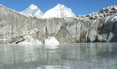
- Participates in various reprocessing and generation of high level derived products (water storage, coastal altimetry, precipitation fields, sea ice, glacier mass balance, tides)
- Implements observation services based on space data in its area of expertise (CTOH, Hydroweb) and contributions to national data clusters (THEIA, ODATIS)
- Cooperates with CNES and SMEs for the transfer to operational products and value-added services (SWOT-Aval tomorrow program, Mercator yesterday, public-private consortium in the framework of the European Copernicus program).
LEGOS is therefore a major player in the space industry in France and Europe, whose activities are closely intertwined with those of the major agencies, particularly CNES, which relies on LEGOS, from the design to the development of Earth observation missions.
News
Non classé
December 2022. D-1 before the launch of SWOT !
SWOT, the NASA/CNES high-resolution oceanographic and hydrological satellite mission, will make the first global survey of the Earth’s surface waters and of our changing oceans and coastal waters, over 90% of the Earth’s […]
Research Team
CTOH: Center for Topographic studies of the Ocean and Hydrosphere
DYNOTROP: DYNamics of TROPical Oceans
ECHOS: Cryosphere and Hydrosphere Studies with Space Observations
ECOLA: Open Sea – Coasts Exchanges
EMC2: Energy, Mass and Climate Change
LITTORAL