Publisher: Direction – Updated on 29/06/2026
Scientific objectives
The ECHOS team investigates the various components of the water cycle from regional to global scales and examines how they interact with climate variability and anthropogenic pressures in the context of global change. The team’s research focuses on two main themes: (1) mass variations of glaciers and polar ice caps, and (2) large-scale continental hydrology and the continental water cycle.
More specifically, ECHOS addresses the following scientific questions:
- How do the components of the continental hydrological cycle vary from daily to multi-decadal timescales and from regional to global scales? How are they linked with climate variability and anthropogenic pressures?
- What are the recent changes in the mass balance of glaciers and polar ice sheets, and how these changes impact water resources, sea-level rise, and glacier-related hazards?
- How do freshwater fluxes influence the ocean (sea-level rise, land subsidence, salinity, and tides) after transiting through the land-ocean continuum?
- Can present and future changes in hydrological components be better characterized, as well as their potential links with extreme events such as droughts and floods, or with land-use changes such as deforestation?
Strategy & Tools
Satellites data constitute the core of the ECHOS team’s research activities. We exploit data from altimetry missions, optical (stereo) and microwave imagery, as well as gravimetry. The central role of these observations is reflected in several activities:
- Calibration and validation (Cal/Val) of radar altimetry data over large ice-covered regions, lakes, and rivers.
- Participation in satellite radar altimetry-based services for monitoring lake and river water levels, such as Hydroweb.next.
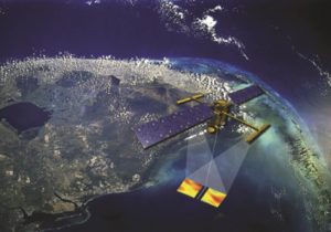
- Scientific support and exploitation of ongoing space missions, including SWOT (Surface Water and Ocean Topography; CNES/NASA/CSA/UKSA), Sentinel-3A/B (ESA), TRISHNA (CNES/ISRO), and CO3D (CNES/Airbus), as well as proposed or developing missions such as Sentinel-3 Next Generation Topography (ESA), 4D-Earth, or daily altimetry.
- The organisation and monitoring of image acquisition campaigns for the glaciological community, such as SPIRIT (SPOT 5 Stereoscopic Survey of Polar Ice: Reference Images and Topographies, 2007–2009) and PGO (Pléiades Glacier Observatory, 2016–present).
The team is actively involved in the LEGOS continent-ocean continuum cross-cutting theme and maintains strong collaborations with several other teams, including Altheos/CTOH, DynOTrop, ECOLA, and Littoral.
Research
Theme 1: Mass Balance of Glaciers and Ice Sheets
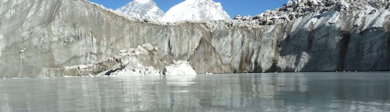
Monitoring glaciers is essential for documenting the impacts of climate warming. However, only about 1% of the world’s glaciers are monitored with in situ observations. Our research therefore focuses on exploiting stereoscopic satellite imagery to monitor changes in glacier elevation and volume at the global scale. Since 2019, our main achievements have included estimating global present and future glacier mass loss and providing data products to the glaciological community through the Pléiades Glacier Observatory. A recent evolution of our research activities has been the understanding of glacier-related hazards. Regarding the polar ice sheets, ongoing studies exploit stereoscopic imagery to monitor mass loss in coastal regions.
The first spatially resolved, global, and comprehensive assessment of mass changes for more than 200,000 glaciers worldwide was carried out within the team, and this work continues to be refined and further analyzed.
Glacier retreat and permafrost degradation are increasing the exposure and vulnerability of mountain communities to natural hazards, creating an urgent need to improve our understanding of these processes and their impacts. The maturity of our processing capabilities, combined with privileged access to very-high-resolution satellite imagery, allows us to rapidly respond to glacier-related disasters and to investigate their underlying mechanisms in close collaboration with multidisciplinary international teams.
Theme 2: Continental Hydrology and the Water Cycle
Our objective is to better observe and understand the dynamics of the continental hydrological cycle and the drivers of these dynamics across a wide range of spatial and temporal scales.
In this context, the launch of the SWOT mission in December 2022 represented a major breakthrough. The team has been involved in the development of the continental hydrology component of this mission for nearly twenty years and has actively participated in calibration and validation activities. The studies conducted using SWOT data have demonstrated the mission’s ability to observe surface waters and their dynamics, from the scale of individual water bodies to the global scale.
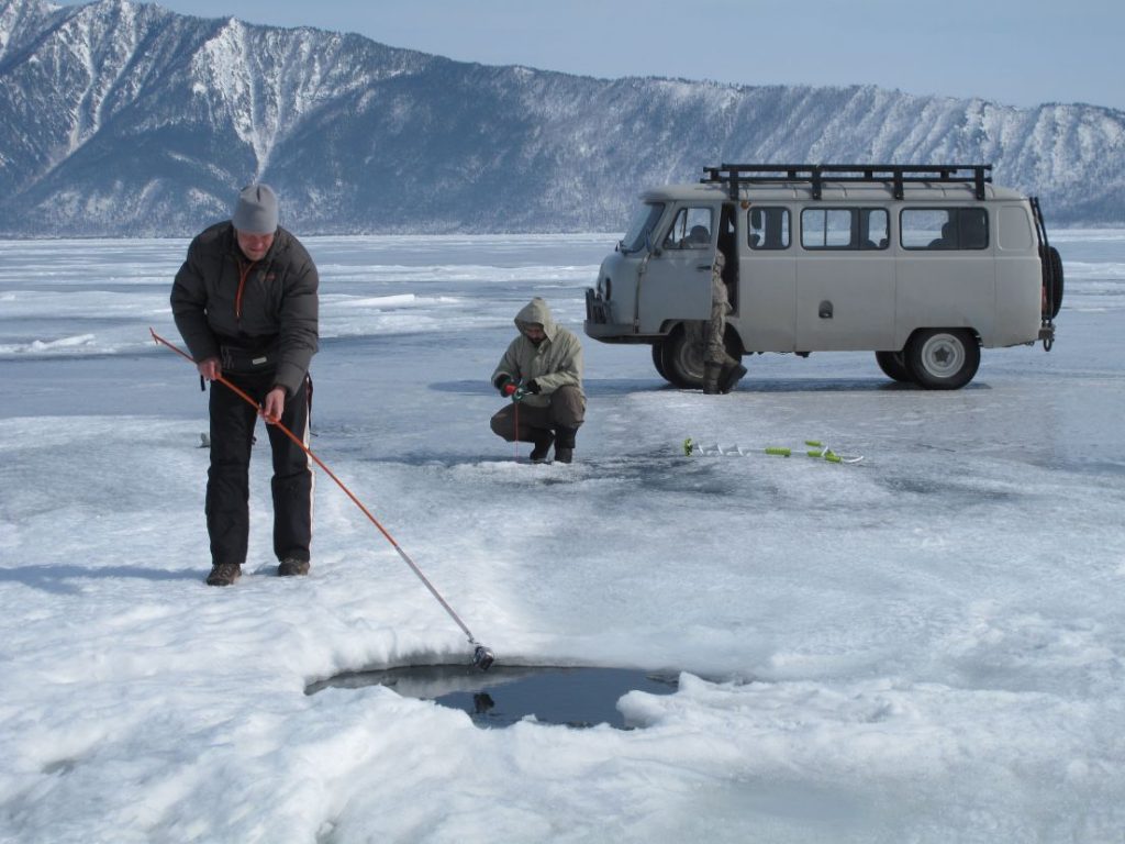
Moreover, advances in satellite data processing have enabled us to improve the estimation of water volumes and fluxes from remote sensing observations, thereby addressing the team’s scientific questions. This activity led to the development of long-term datasets (spanning more than 20 years and, in some cases, over 30 years) of water levels, lake and reservoir volume variations, and river discharge in the context of climate change. These studies are conducted, for example, through the ESA Climate Change Initiative (CCI) Lake and River Discharge projects and are often carried out in collaboration with the CTOH.
In addition to satellite observations and conventional field measurements, the use of citizen science approaches has been developed in recent years to monitor water levels in Pyrenean lakes.
The combination of these datasets (including GRACE satellite gravimetry data), together with in situ observations and numerical models, provided a better characterization and understanding of variations in the continental hydrological cycle, particularly changes in terrestrial water storage. Some studies have highlighted both the global decline in lake water storage and, conversely, the expansion of lakes on the Tibetan Plateau driven by glacier melt and increased precipitation.
The combination of multisatellite observations, field measurements, and numerical modelling also contributed to evidence the physical mechanisms responsible for the formation of giant ice rings on large lakes, linked to under-ice vortex dynamics.
The team is also strongly involved in the study of major river basins. Several studies have characterized and investigated the causes of droughts and floods in the Congo and Amazon basins and their links to climate variability. These satellite observations are expected to contribute to improving hydrological reanalyses and forecasting systems.
Composition
Permanent staff
| First name LAST NAME | Grade – Employer |
| Etienne BERTHIER | Director of Research – CNRS |
| Sylvain BIANCAMARIA | Team leader Research Scientist – CNRS |
| Stéphane CALMANT | Director of Research – IRD |
| Arnaud CERBELAUD | Research Scientist – CNES |
| Jean-François CRETAUX | Research Scientist – CNES |
| Alexei KOURAEV | Lecturer – UT |
| Julien LEFEBVE | Research Scientist – CNES |
| Fabrice PAPA | Team co-leader Director of Research – IRD |
All team members

Bernat Maud
PhD Student UT
Berthier Etienne
Glaciologue , DR2 CNRS
BIANCAMARIA Sylvain
Hydrologue , Chargé de Recherche CNRS

Blondel Charlotte
Ingénieure de recherche , CNRS
Cerbelaud Arnaud
Chercheur CNES; Ingénieur de la Statistique et de la Donnée (InSED); CNES

Ferdinand Noemie
PhD Student , UT
Gauer Louis-Marie
Postdoc researcher , CNES
Lefebve Julien
CNES
Louarn Celia
Ingénieure d’étude CNRS
Papa Fabrice
Directeur de Recherche IRD, IRD Research Director , DR1 IRD
Wongchuig Sly
Postdoc researcher. LEGOS, CNRS , PhD
News
Non classé
December 2022. D-1 before the launch of SWOT !
SWOT, the NASA/CNES high-resolution oceanographic and hydrological satellite mission, will make the first global survey of the Earth’s surface waters and of our changing oceans and coastal waters, over 90% of the Earth’s […]

Current thesis
Space observations and analysis of sea ice volume change impacts
Name: Marion BOCQUET Start date: 2020/10/01 Thesis supervisor: Frédérique REMY Co-supervision 1: Sara FLEURY Co-supervision 2: Thomas MOREAU Keywords: Sea ice, Climate, Space altimetry
Current thesis
Water cycle, Hydro-climatology and Water resources in theCongo River Basin: integrated approach using remote sensing, numerical modeling and in situ observations in the context of the SWOT mission
Name: Benjamin MAMBWE KITAMBO Start date: 2020/03/02 Thesis supervisor: Fabrice PAPA Co-supervision 1: Adrien PARIS Co-supervision 2: Raphael TSHIMANGA MUAMBA Keywords: Congo River Basin, Surface and subsurface water storage, Evapotranspiration, […]
Current thesis
Inversion of land surface properties (flood, soil moisture, biomass) using GNSS-R data from the CYGNSS mission
Name: Pierre ZEIGER Start date: 2019/10/01 Thesis supervisor: Frédéric FRAPPART Co-supervision 1: José DARROZES Keywords: GNSS-R, Soil moisture, Biomass, Flooding, Tidal bore
Current thesis
Global glacier mass loss. Improved estimates from remote sensing and modelling
Name: Romain HUGONNET Start date: 2018/11/01 Thesis supervisor: Etienne BERTHIER Co-supervision 1: Daniel FARINOTTI Keywords: Water resource, Glacier, Sea level, Mass balance